Ranikot Fort, Jamshoro
Location:
District Jamshoro
GPS Coordinates:
25°53’49.04”N, 67°54’6.24”E
Project Duration:
2014 (Ongoing)
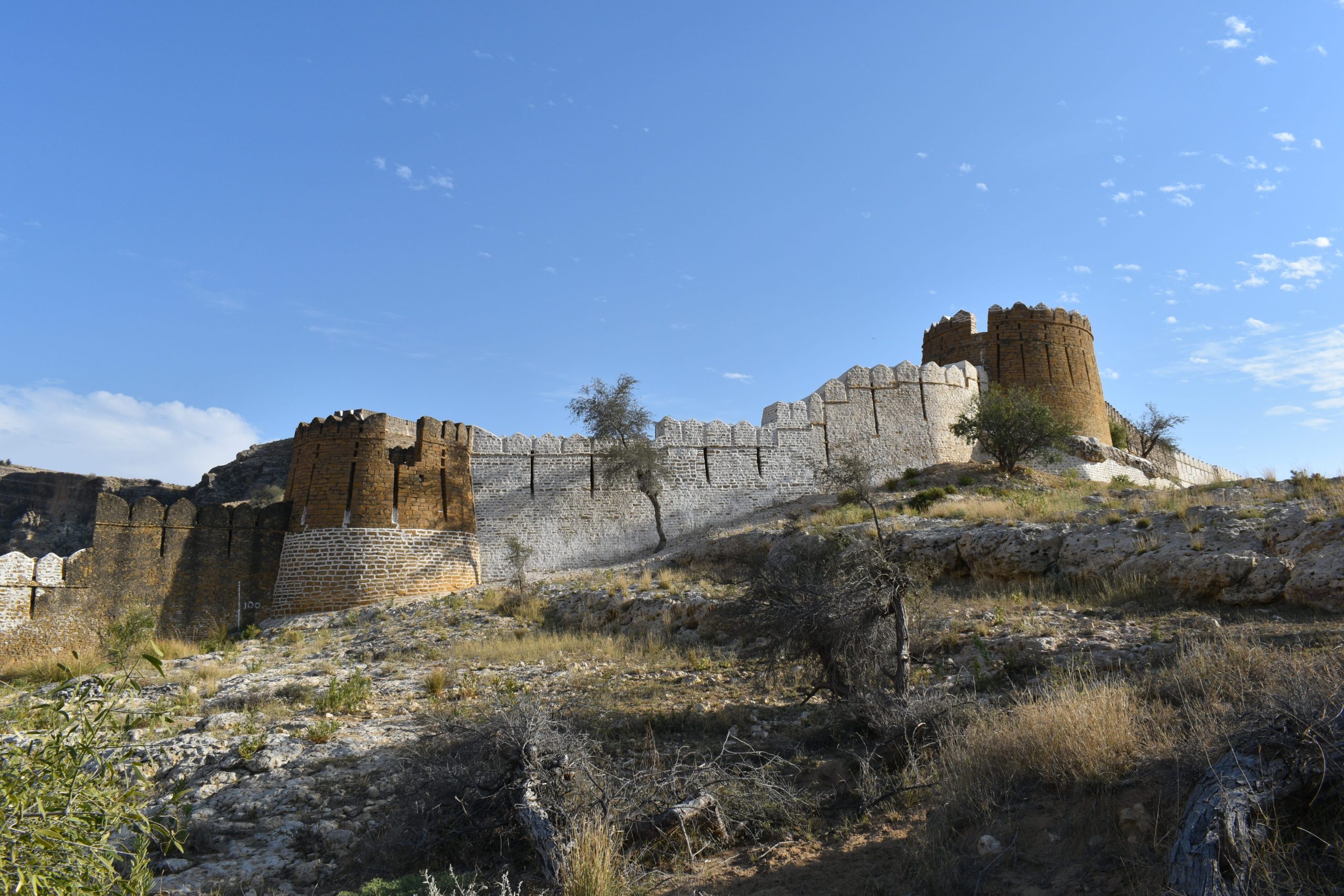
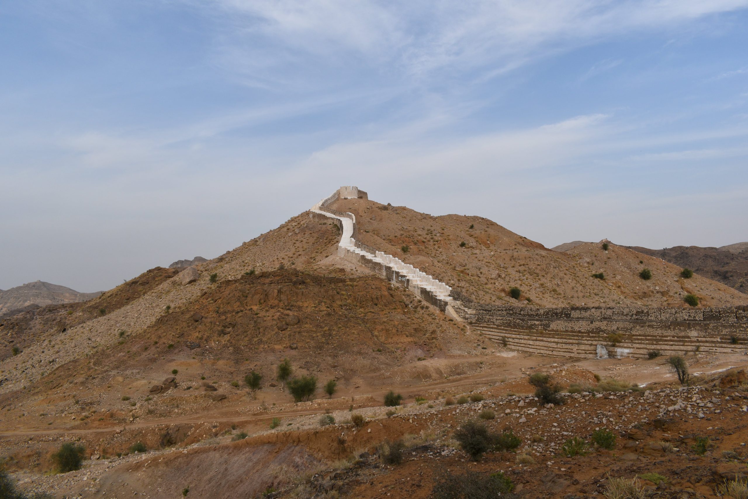
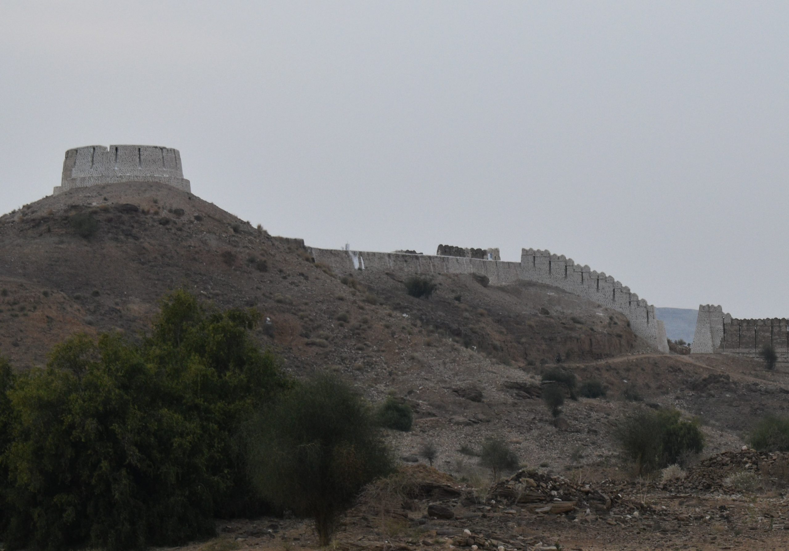
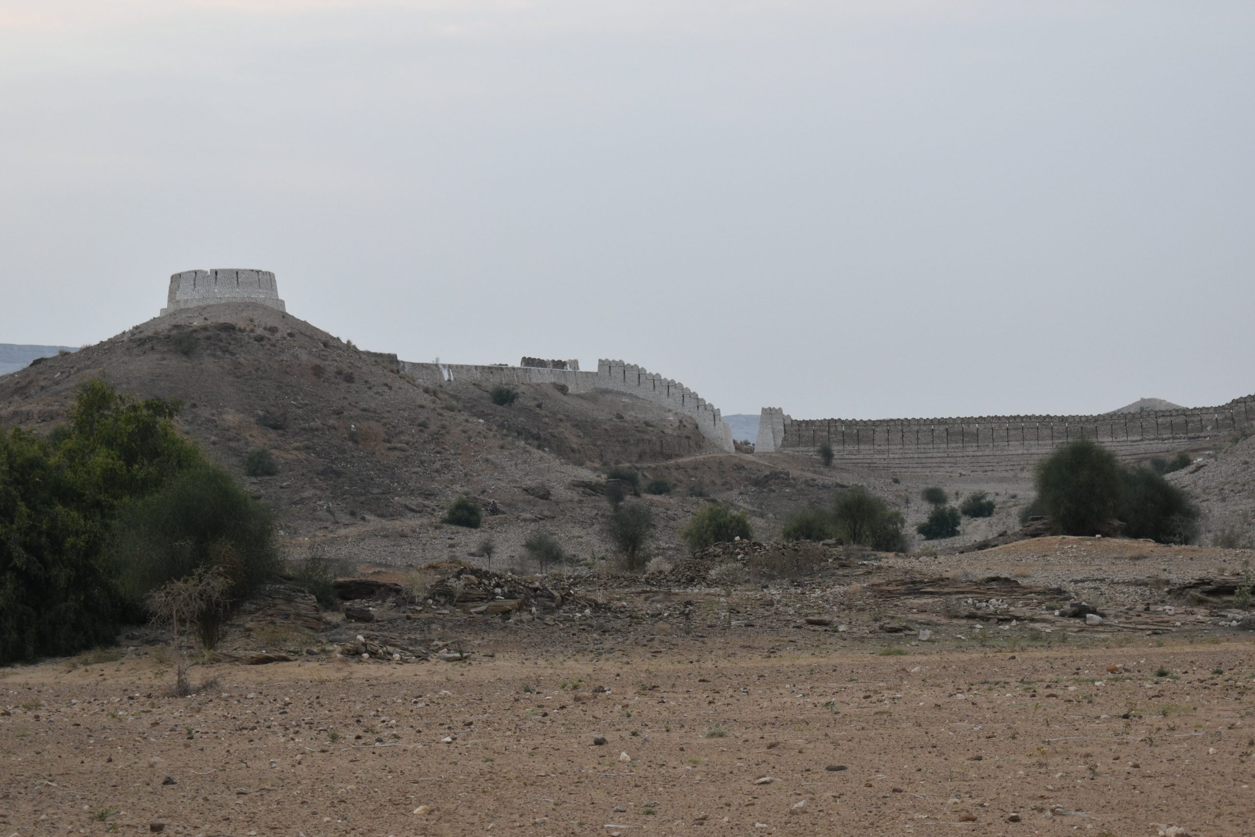
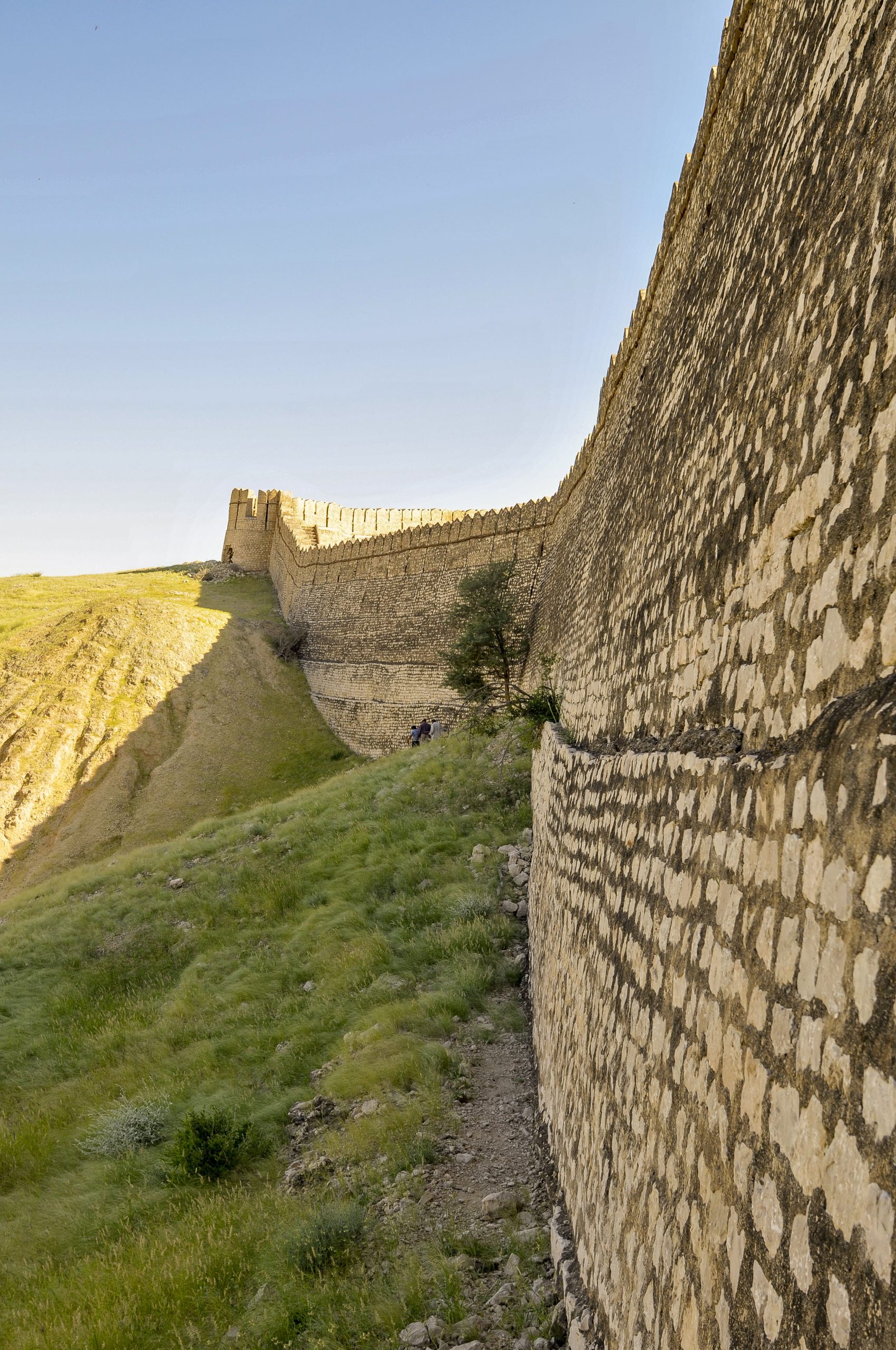
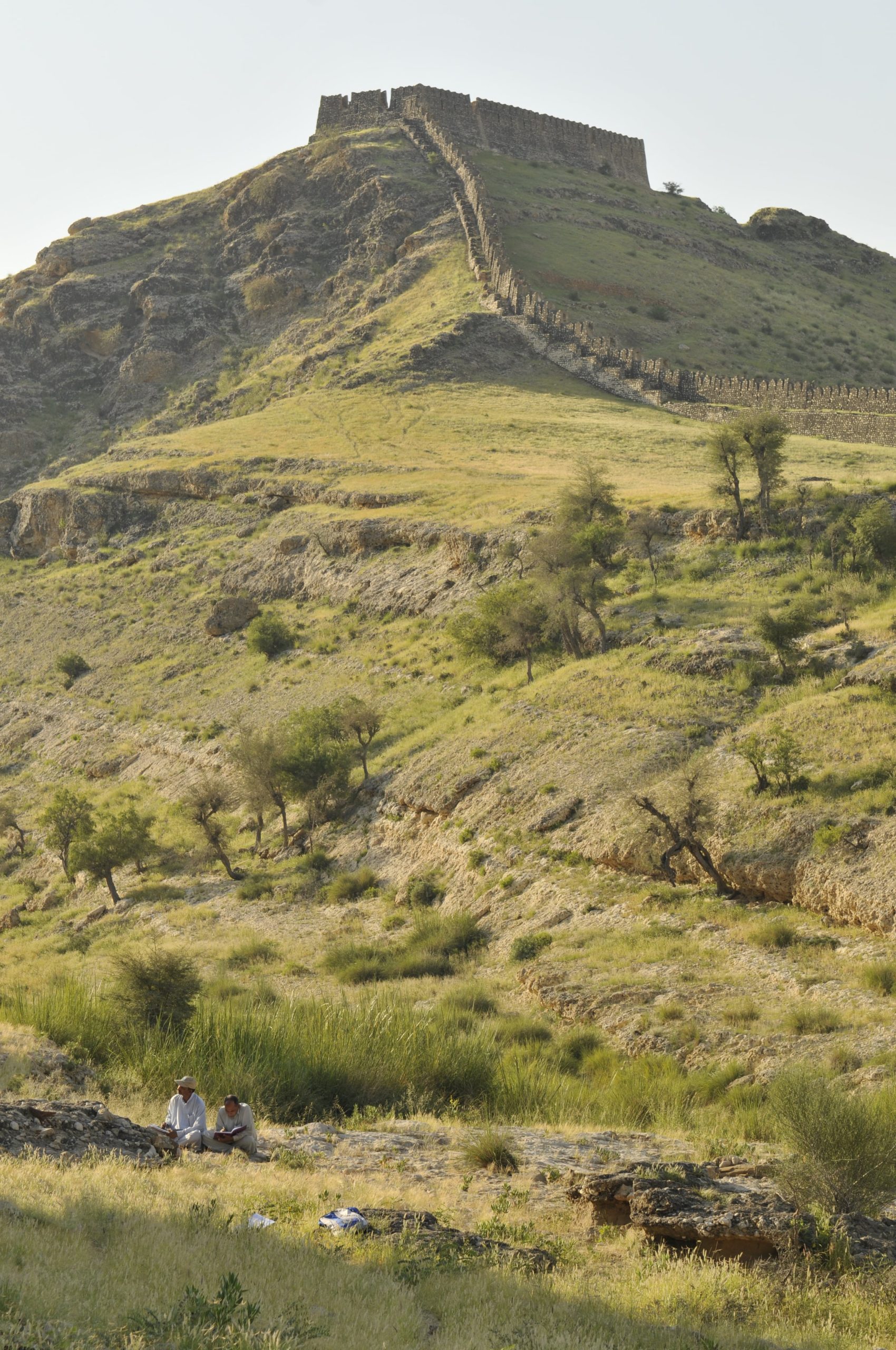
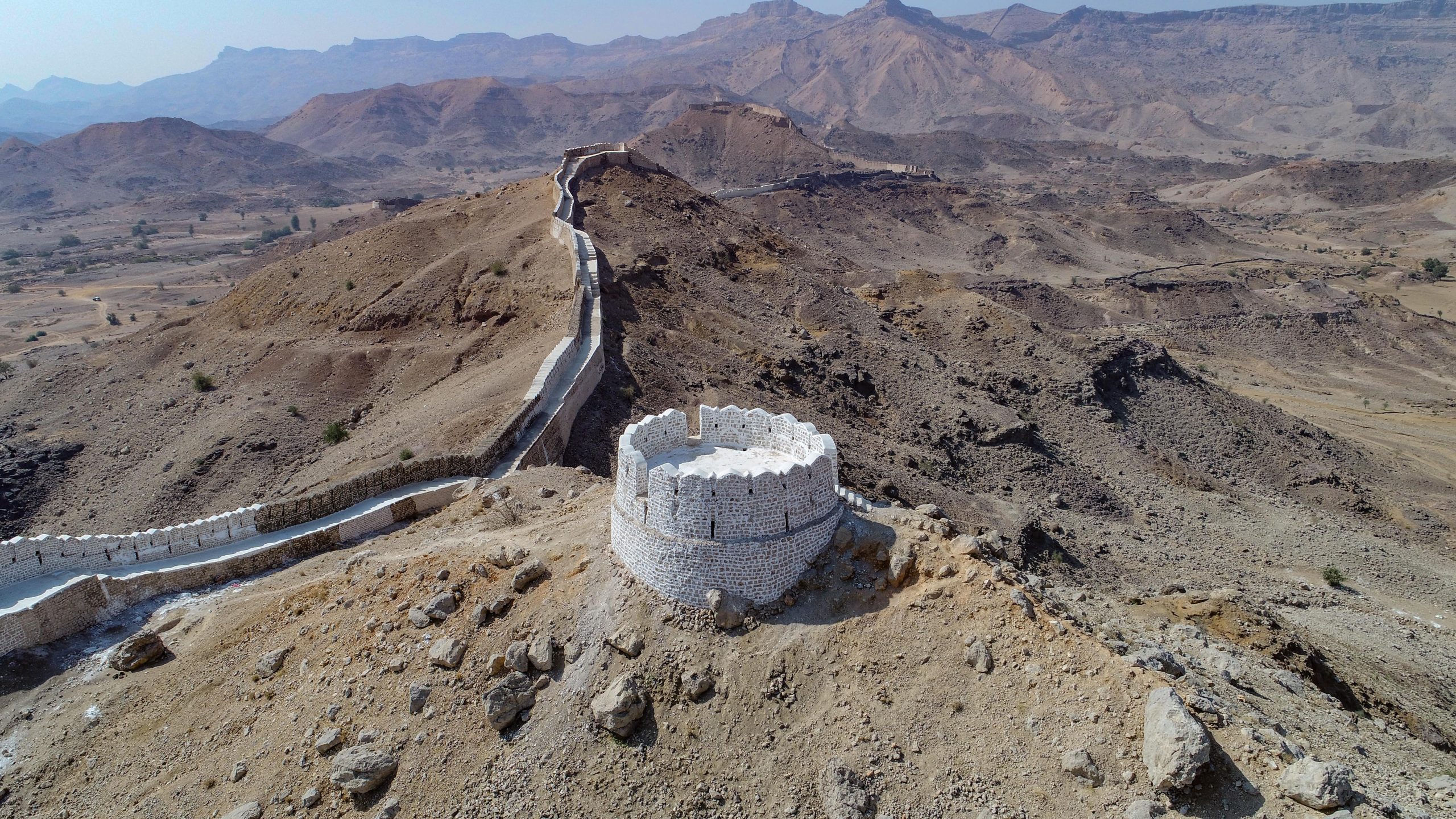
Ranikot, known as the ‘Great Wall of Sindh’ and believed to be one of the world’s largest fort enclosures located about 30 km towards south-west of Sann (Jamshoro – Sehwan Road). It is situated on the luky hills of the Khirthar mountain range. Its elevation, varies from 500 to 1500 feet. Its periphery is roughly 32.115 km and the robust walls are built at vulnerable places to encircle the Ranikot valley into a large fortified area. Total length of manmade walls is about 7.25 km and were originally constructed with stone and lime. The fort has five entrances, namely San Gate in its eastern wall, Amri in the north, Mohan Gate in the western wall, Shahper in the southern wall and Tori Dhoro in the southeast. Within Ranikot, there are two more fortresses Mirikot and Shergarh, each have five bastions. Mirikot is a small fortress, it has a curved and angulated entrance with a safe tortuous path. From a strategic point of view, Mirikot is located at a very safe and central place and in the very heart of Ranikot complete with residential structures. The second fort called Shergarh is perched atop a larger hill like a giant eagle’s nest overlooking a much larger area. This whole ensemble forms the entirety of the fort. The giganic task under taken by Endowment Fund Trust is almost complete.
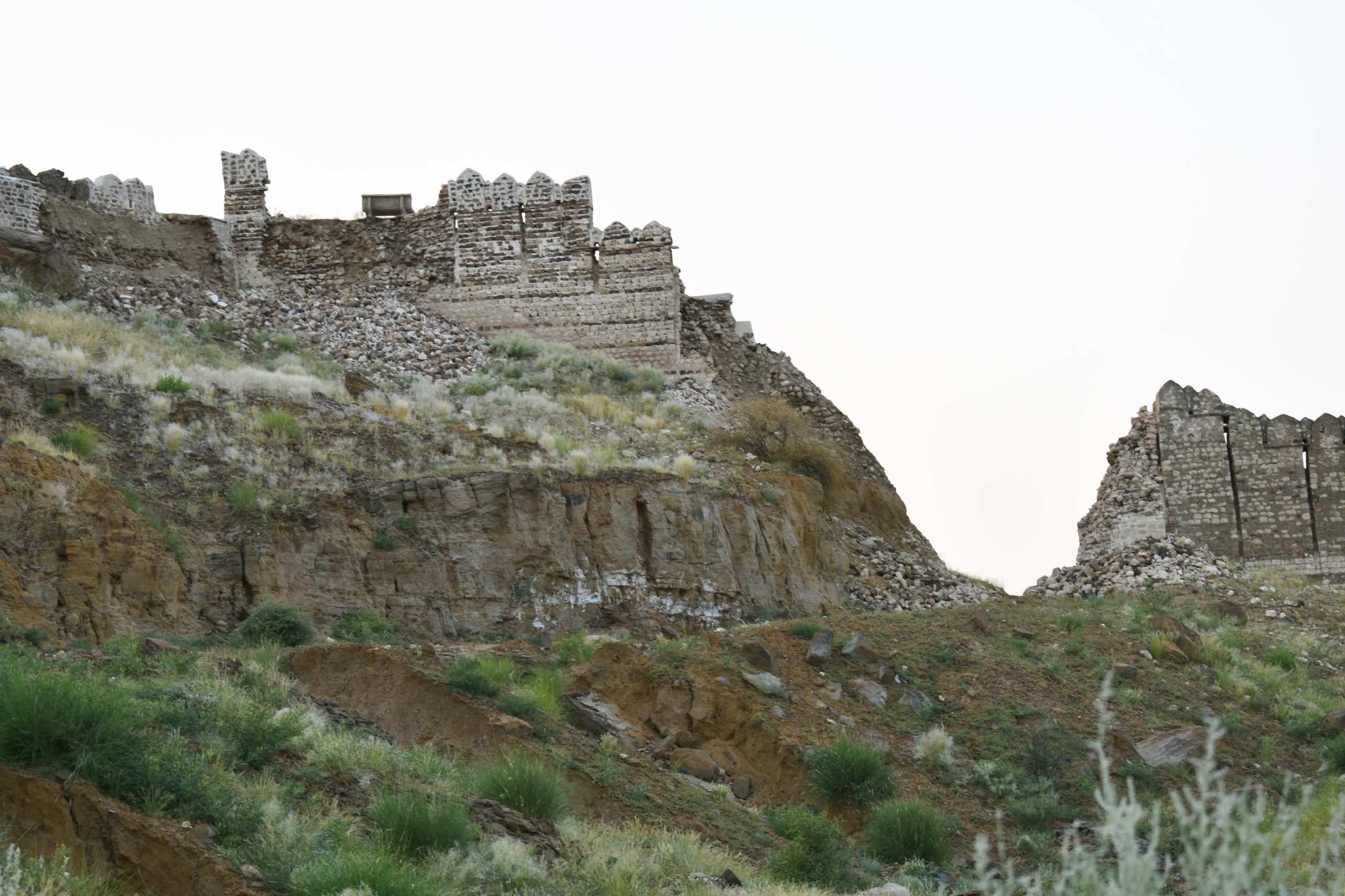
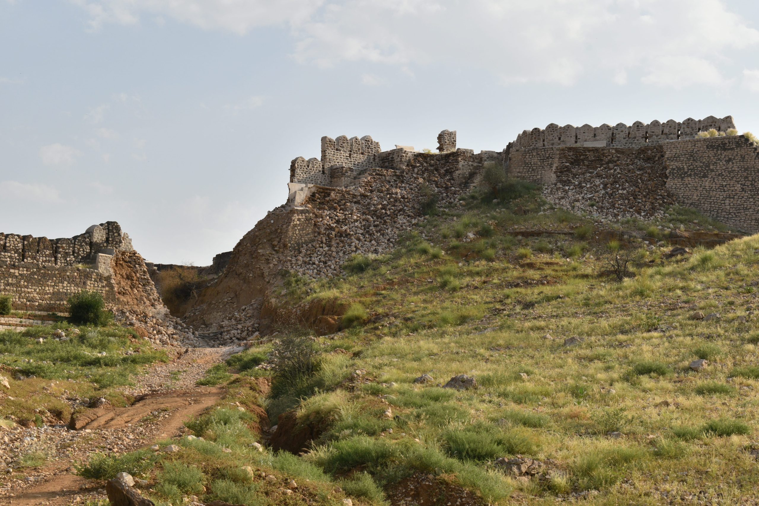
Before Preservation
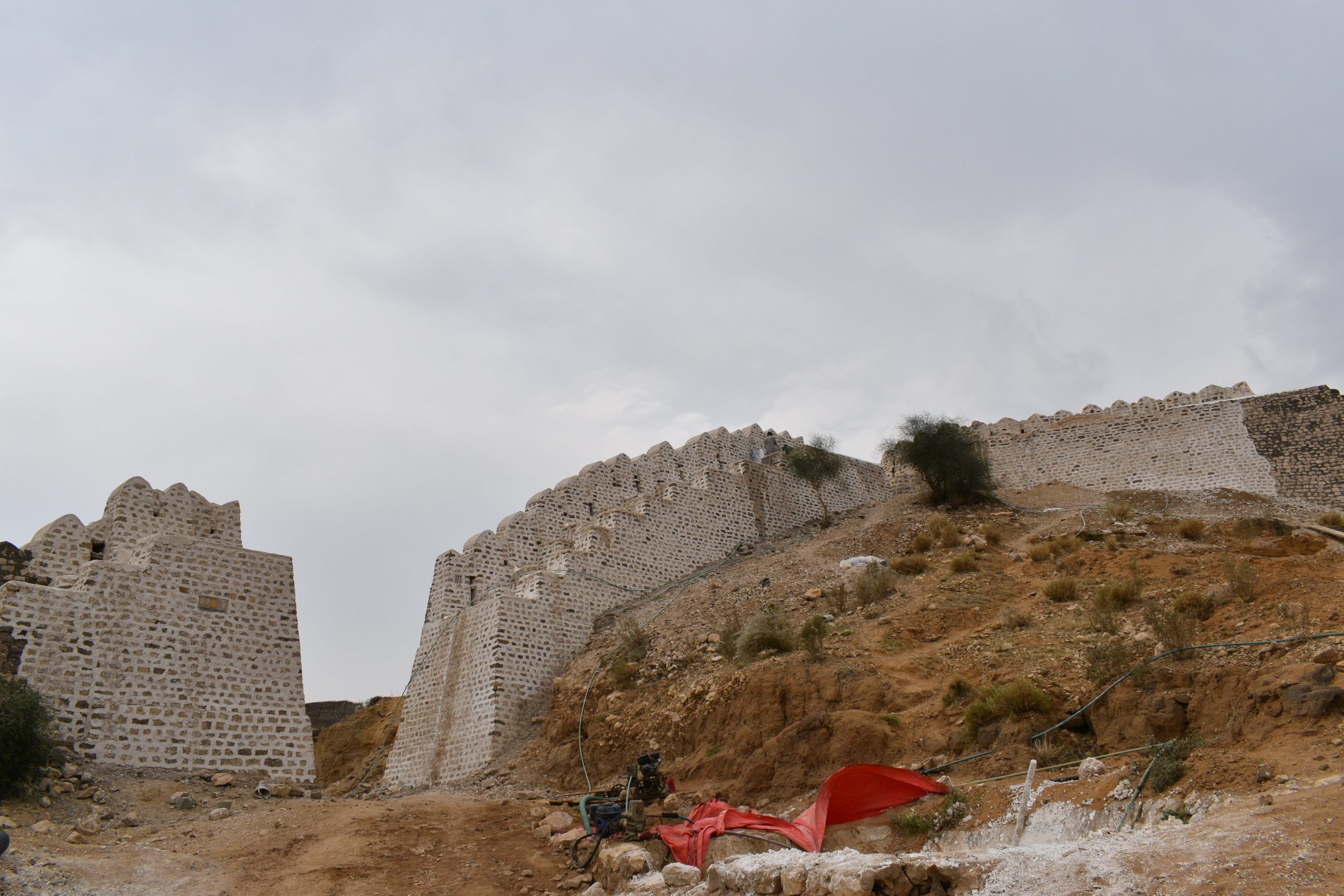
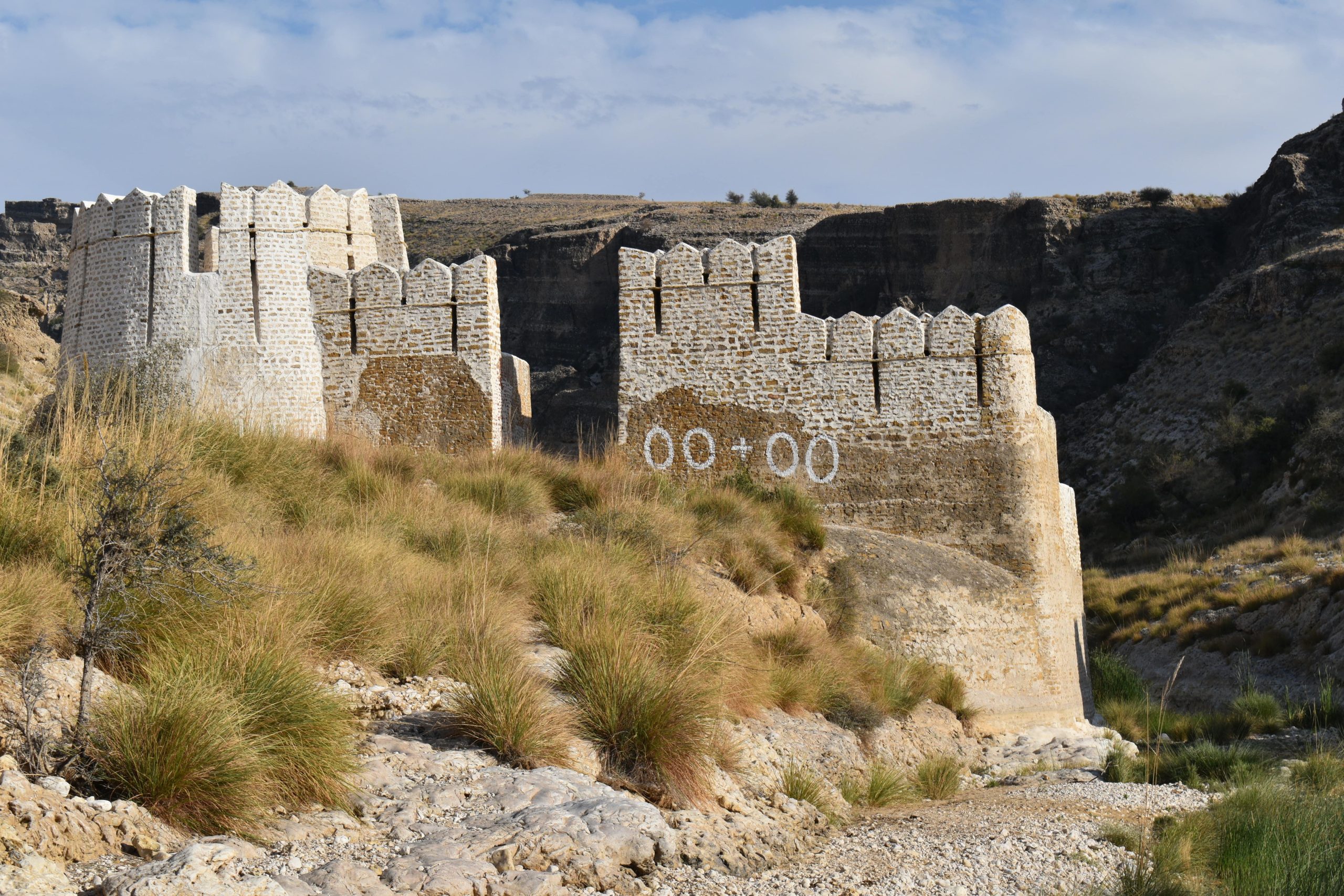
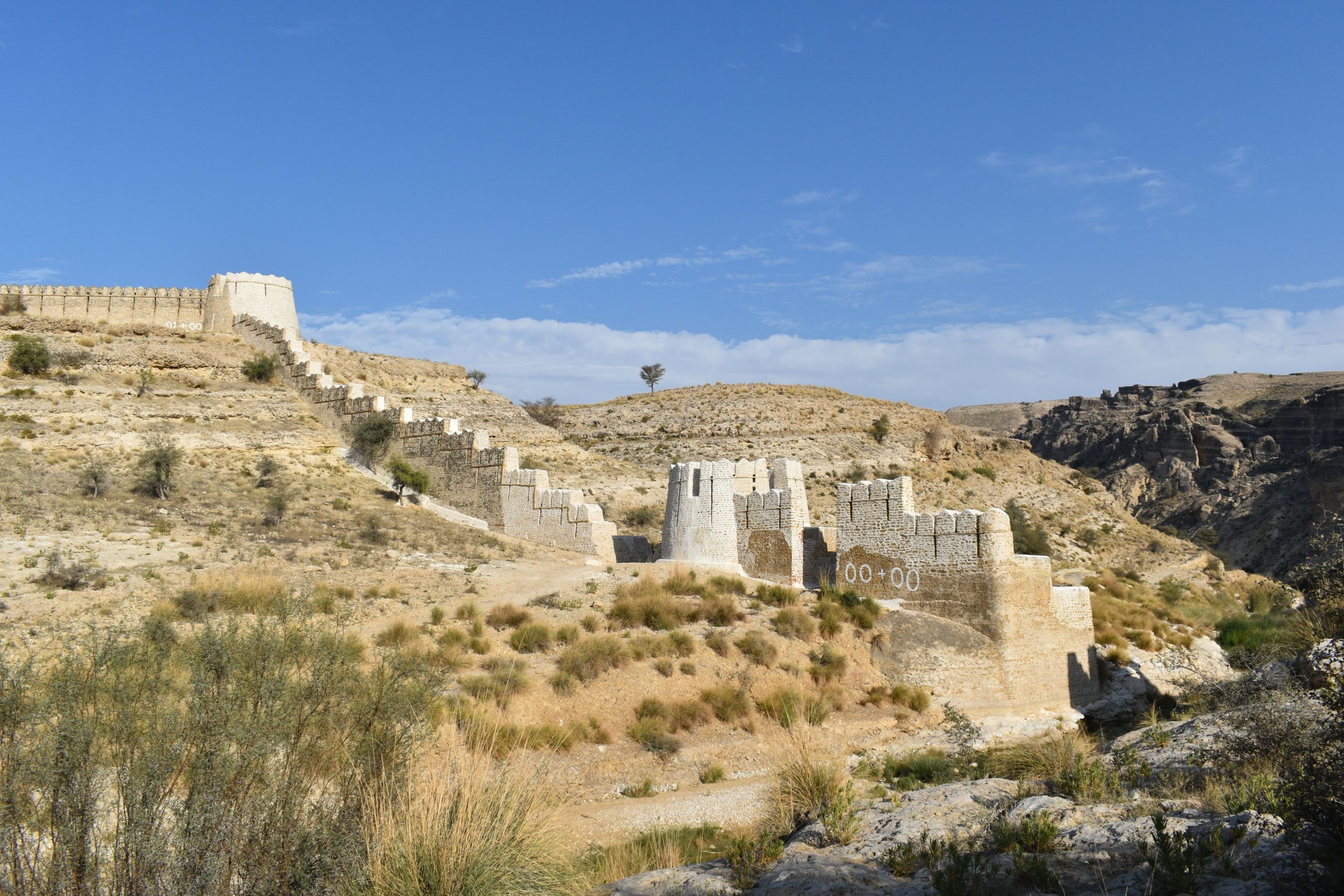
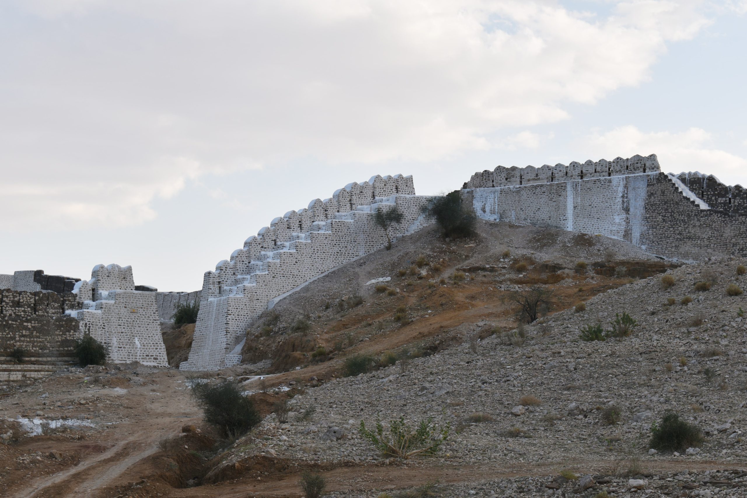
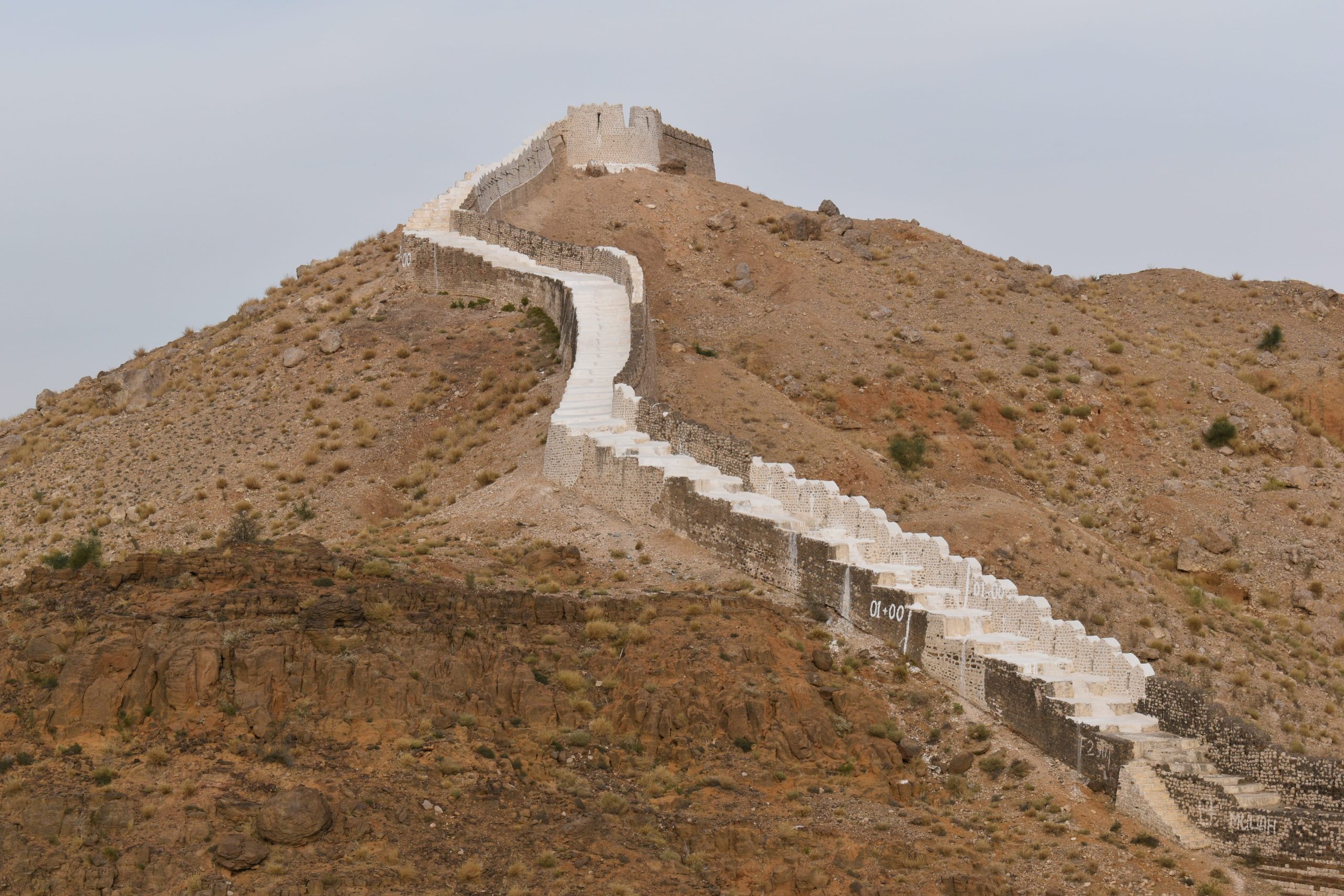
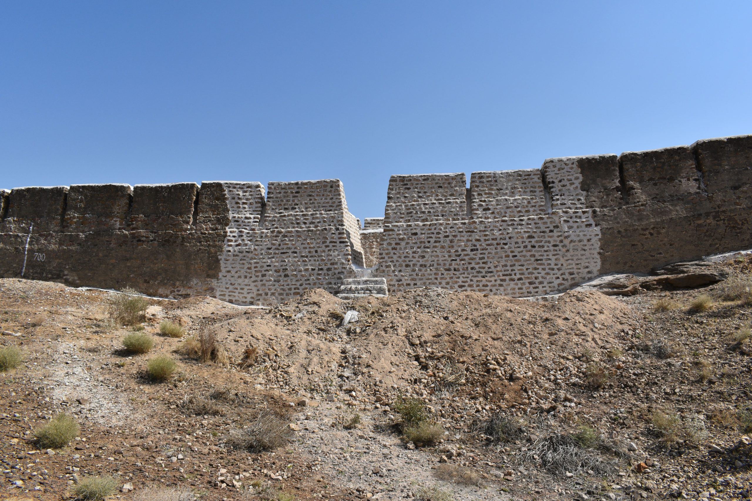
After Preservation
Accessibility: Ranikot is situated about 30 km towards southwest of Saan, at 27.55° North and 62.15° South on the ridge of the Khirthar mountain range, and its elevation varies from 500 to 1500 feet.
GPS Coordinates: 25°53’49.04”N, 67°54’6.24”E
Project Duration:
Started: 2014, On-Going
Historical Background: Ranikot, known as the ‘Great Wall of Sindh’ and believed to be the world’s largest fort, it is situated in the hilly area, it located about 30 km towards south-west at 27.55° North and 62.15° South on the ridge of the Kirthar mountain range, and its elevation, varies from 500 to 1500 feet. Ranikot fort falls amongst the largest fortifications of the world. Its circumference is 32.115 km in which manmade walls are built at places to convert Ranikot valley into a large fortified area. The forts walls are built with stone and lime mortar. Total length of manmade walls is about 7.25 km. Ranikot has live entrances, namely San Gate in its eastern wall, Amri in the north, Mohan Gate in the western wall, Shahper in the southern wall and Tori Dhoro in the southeast. There are also some gaps in the wall from which rain water flow inside the fort, these entrances are usually without water and always dry, so people use them as “entrances”. Within Ranikot, there are two more fortresses Mirikot and Shergarh, each have live bastions. Mirikot is small fortress. Mirikot takes its name from the word ‘Mir’ meaning top (for instance the top of a hill, chief of any Baloch tribe, etc.). Mirikot have entrances, curved and angulated with a safe tortuous path. From the military point of view, Mirikot is located at a very safe and central place in the very heart of the Ranikot with residential arrangements including a water-well. The second fort looks like a giant eagle’s nest called Shergarh fort (House of lion). It is located to the north-west of the mountainous wall of Ranikot fort. It is visible from Mirikot.
Mohan Gate:
A gate on the fort’s northeastern side is called Mohan Gate. It protects the fort’s entrance from beyond and the untamed Khirthar region. It is where the “Mohan Nai” pouring into the fort from the Khirthar catchment areas enters. Before leaving via the Sann Gate at the opposite end of the fort, the Nai is referred to as “Rani Nai” while flowing through the fort. The source of the enduring spring “Paryun Jo Tar” is located at the Mohan Gate. The gate’s remaining structures make reference to the piers of a wide span over the Nai. According to the southern flow of the river, the left abutment and the adjacent bastion were purportedly destroyed by a significant flood years ago that washed away the majority of the building materials, leaving only vestiges. The destroyed bastion has been entirely rebuilt using the ruins’ foundation and the layout of the still-existing stronghold on the other bank. The Endowment Fund Trust has since reconstructed
the Mohan Gate, which had previously been totally restored by the EFT but had been seriously damaged by the devastating floods of 2022.
North-East Wall:
There is a defensive wall to the northeast of Mohan Gate. The wall is guarded by five bastions. The wall begins at the Mohan gate, climbs the valley’s slope, crosses the terrain, and terminates with a bastion perched on the ledge of a sheer cliff with a view of the valley below. The wall on the hill was completely destroyed, with its walkway washed away due to slope failure, the merlons weathered by time and rain, and in some places, complete sections of the wall missing. During the 2022 monsoon rains, landslides caused significant damage to the North-East wall. EFT has started rebuilding the already-restored sections of the wall once more in addition to collapsing a portion of the original (unrestored) wall. Following the disaster of 2022, repair work has been completed.
Miri Kot:
During the heavy rains that occurred in the year 2022, five portions of the walls and bastion at Meri Kot were damaged and their cladding of the walls had washed out. Now they have been completely restored by the EFT.
Sann Gate:
About many of these portions of Sann Gate also collapsed during the 2022 rain disaster. Recently, EFT has restored some portions of the north-east side of the Sann Gate.
